Why Static Maps Don’t Cut it
In an emergency when timing is critical, it's important to have the most up-to-date mapping data at your fingertips. It can take time for emergency responders to locate important information such as building access points or stairwells, and even if they are quickly found on the map, there is no way to know how outdated that map version might be.
To ensure the safety of visitors and employees within cities and communities, it is critical that buildings have a way to easily share up-to-date digital maps with emergency services so that they always have the right information on hand.

Book a Demo
Digital City District Mapping Features
Indoor to Outdoor
Dynamic visuals and easy to understand text directions make it simple to populate directions between and inside of different buildings across your city district.
Smart Search
Users can search by location, category, brand, and more. Mappedin’s AI-driven search offers predictive results as users type, helping them easily locate their destination.
Accessible to All
Accessibility Mode lowers important information on your directory and populates a route that prioritizes elevators and ramps over stairs and escalators.
Insights & Analytics
Gain a better understanding of how your visitors are interacting with your venue with reports on location searches, category selections, device usage, and more.
Languages
Mappedin’s products have been deployed globally and we strive to support as many languages as possible. If we don’t have the language you need, we will add it.
Digital Maps for Improving the Visitor Experience
Along with increasing safety measures at your venue, interactive city district maps can be used to showcase events and advertising and help visitors find what they’re looking for. Learn more about improving the user experience with Mappedin’s solutions.


Contact Monitoring Application
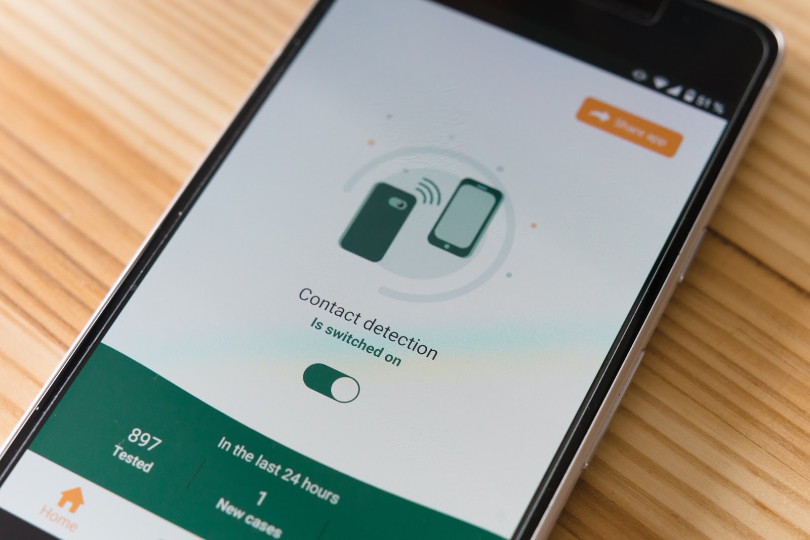
Mappedin has created an open sourced contact monitoring solution for businesses to use in an effort to keep their employees and visitors safe. This solution is made up of three components: a Native Mobile SDK, Ingestion API, and Contact Monitoring Dashboard.
Indoor Mapping Software
The Mappedin platform is made up of a powerful Map Editor and Analytics Dashboard. This is the foundational layer for all buildings and venues within your city district mapping experience. Our software makes it simple to edit location and map data while the Analytics Dashboard provides valuable insights on your visitors.

How Digital Maps Can Save Valuable Time
Key Resources
Along with providing key location information across a city district, digital maps can also display important safety points. By visualizing entrances and exits, fire alarms, first aid kits, and so on, you can review your venue layout and easily make updates as things move around.
Mobile App Integrations
Interactive maps of buildings within a city district can be integrated seamlessly into employee or visitor mobile applications. This way, not only do they have access to maps at their fingertips, but you can utilize this platform to send alerts and notifications in case of emergency.
Real-Time Location Accuracy
With a static map, it can be necessary to keep checking back and reassessing your location as you move around. Digital maps can be integrated with indoor positioning technology, promising to show your location at a venue and provide simple turn-by-turn directions as you navigate.
Emergency Preparedness
Updated digital maps can help emergency responders familiarize themselves with buildings throughout a city district. Indoor maps help users get in and out of a building as quickly as possible and can provide alternative routes if an entrance or stairwell is blocked off during an emergency.
Learn More About Increasing Safety Measures with Mappedin
Check out our blog 7 Ways Indoor Mapping Helps with Disaster Management or contact us today to learn more.
